Date : 26 June 2011
How to get there :
Travel time : 45 mins from Bukit Jalil
Head on to MRR2 and exit to Taman Connaught/Cheras. Once you turn left after the exit, turn right at the next traffic lights.
This will take you pass Giant/McD on the right and BHP on the left.
After BHP keep right and follow the road (there are 3 forks, go on the right fork)
The road will curve to the left where you will see a Petronas, just go straight until the tol.
After tol take the first left exit and follow the road and look out for road signs to Hutan Lipur Gunung Nuang
There will be a left turn to take at a traffic lights (right side is a police block)
Just follow this road until the end and take the right fork, follow the road until the end and turn left
There are car parks on the left and right side of the road
At the base :
Proper shower and toilet facilities available for use
Trekking time and terrain :
On moderate speed with some photography - 1 hour 30 mins
Terrain rating 3/10
Description of terrain :
Fairly flat with some gentle slopes
Various river crossings with forks along the way (better to go with someone who knows the way)
At the waterfall :
Lata Bomoh Ali - Deep enough to have dives
Lata Berembun (Nyur) - Chest deep pool with slide to play. Good reflexology too!
 |
| Along the trail one can see beautiful rays of sunshine |
 |
| The dam |


 |
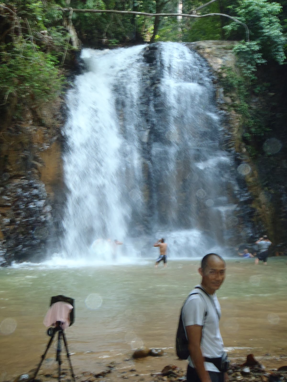
| Lata Bomoh Ali |
 |
| The jumping |
 |
| Lata Nyur where one can slide |
 |
| Lata Nyur |
The trail into this waterfall is absolutely breathtaking where one can see beautiful rays of sun all along the way. The trek in is serene with nice scenery. A trek that will make everyone fall in love with nature :)